Power plant · North Northamptonshire, England, United Kingdom
Wood Lodge Farm, Huntingdon Road - Solar Farm
Wood Lodge Farm, Huntingdon Road - Solar Farm is a planned solar power plant in North Northamptonshire, England, United Kingdom, with 50 MW of capacity.
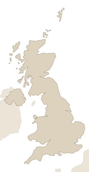
Facts
Every value links to its source, and to the source's own record where it has one. Licences and last-checked dates are per row.
| Fact | Value | Source |
|---|---|---|
| Location | North Northamptonshire (coordinates), England | DESNZ Renewable Energy Planning Database (REPD) · Open Government Licence v3.0 · checked 24 Oct 2026 |
| Status | Planned (planning application submitted) | DESNZ Renewable Energy Planning Database (REPD) · Open Government Licence v3.0 · checked 24 Oct 2026 |
| Application date | 12 Sept 2023 (reference NE/23/00858/FUL, planning authority North Northamptonshire) | DESNZ Renewable Energy Planning Database (REPD) · Open Government Licence v3.0 · checked 24 Oct 2026 |
| Capacity | 50 MW | DESNZ Renewable Energy Planning Database (REPD) · Open Government Licence v3.0 · checked 24 Oct 2026 |
| Technology | Solar Photovoltaics | DESNZ Renewable Energy Planning Database (REPD) · Open Government Licence v3.0 · checked 24 Oct 2026 |
| Area | 66 ha (solar site area) | DESNZ Renewable Energy Planning Database (REPD) · Open Government Licence v3.0 · checked 24 Oct 2026 |
| Coordinates | 52.3877, -0.4802 | DESNZ Renewable Energy Planning Database (REPD) · Open Government Licence v3.0 · checked 24 Oct 2026 |
Research on this power plant and its owner.Who owns it up to the parent company, its grid connection and planning status, and an introduction to the owner.
Latest events
Dated events about this power plant from official notices, registers and owners' press releases, newest first. All recent changes.
- Permit applied for (planning authority North Northamptonshire, reference NE/23/00858/FUL)
How it compares
Wood Lodge Farm, Huntingdon Road - Solar Farm is the 426th-largest of 1,650 power plants planned, permitted or under construction in England and the 770th-largest of 2,548 in the United Kingdom by capacity; its 50 MW is <0.1% of the 278,868 MW of power plants planned, permitted or under construction we hold for the United Kingdom. It is not built yet, so it is ranked among the power plants planned, permitted or under construction in our data, apart from the ones running today. Ranks and totals cover the ones that report their capacity.
| Within | Rank | Total | Share |
|---|---|---|---|
| England | 426th of 1,650 | 171,064 MW | <0.1% |
| United Kingdom | 770th of 2,548 | 278,868 MW | <0.1% |
| All power plants planned, permitted or under construction in our data | 1,867th of 5,799 | 656,876 MW | <0.1% |
Nearby
Within 50 km of this power plant: 166 grid connections (116 operating, 1,518 MW), 73 substations and 10 data centers, measured from the coordinates in the facts above. The table shows the nearest 9, up to 3 per kind.
| Name | Kind | Size | Status | Distance |
|---|---|---|---|---|
| (ANM)Foxholes Farm grid connection | Grid connection | 40 MW | Planned | 1.5 km |
| Brington Primary 11kV | Substation | — | — | 5.3 km |
| (ANM) Land At Rookery Farm grid connection | Grid connection | 50 MW | Planned | 9.8 km |
| ((ANM) Stow Road grid connection | Grid connection | 6 MW | Planned | 11 km |
| Kimbolton Primary 11kV | Substation | — | — | 11 km |
| Perry Primary 11kV | Substation | — | — | 17 km |
| The Horizon Centre | Data center | — | — | 18 km |
| Data center, England (OSM way 87850427) | Data center | — | — | 24 km |
| Hellermann Tyton Data | Data center | — | — | 34 km |
Place
Other power plants in England
- Drax Power Station Biomass Units2,580 MW
- Ratcliffe-on-Soar2,021 MW
- Cottam2,000 MW
- Walpole Flexible Generation Project2,000 MW
- West Burton2,000 MW
- Eggborough1,960 MW
- Staythorpe1,828 MW
- Fiddler’s Ferry1,510 MW
Data on this page
- Contains public sector information licensed under the Open Government Licence v3.0. DESNZ Renewable Energy Planning Database (REPD), Open Government Licence v3.0.
- Source: U.S. Energy Information Administration (Sep 2026). EIA-860 / 860M / 923, Public domain.
- Bundesnetzagentur, Marktstammdatenregister. Marktstammdatenregister, DL-DE-BY-2.0.
- © OpenStreetMap contributors. OpenStreetMap data centers, ODbL 1.0.
- Contains public sector information licensed under the Open Government Licence v3.0. Planning Inspectorate: National Infrastructure Projects, Open Government Licence v3.0.
- RVO SDE(+)(+) projecten in beheer and SDE viewer. RVO SDE(+)(+) projecten in beheer and SDE viewer, Free reuse, no attribution required.
- UK Power Networks. UK Power Networks open data portal, CC BY 4.0.
- Wikidata. Wikidata, CC0 1.0.